 Digital twin
One 3D twin of your territory. Every hazard runs on it.
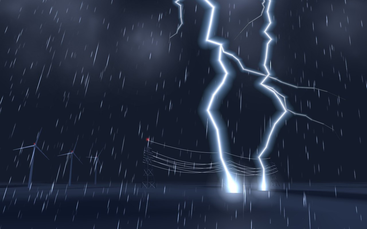
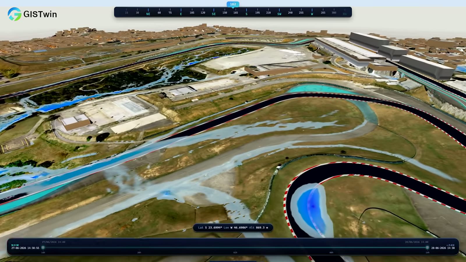
GISTwin is the high-fidelity 3D twin of your area: terrain, buildings, roads and networks. Rain, fire and lightning scenarios play out on it, on live, historical or forecast weather, and every result is compared with the reference situation, so the decision can be defended in a budget.
- A vulnerability score per building, run after run
- Submersion points on the road and rail network
- Decision dashboards and the alerts you configure
What you get
Your territory is modelled once, then the applications you need are added on top. A pilot on one district or asset first, then an annual licence.

- for floods, wildfires and lightning
- 1 twin
- for floods, wildfires and lightning
- a vulnerability score and a water depth
- Per building
- a vulnerability score and a water depth
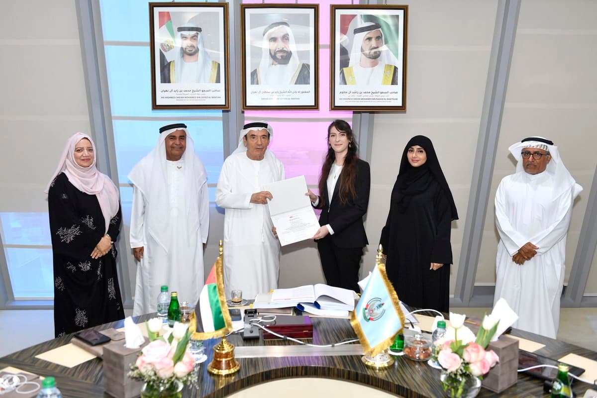
- in production in the United Arab Emirates
- Abu Dhabi
- in production in the United Arab Emirates
 Floods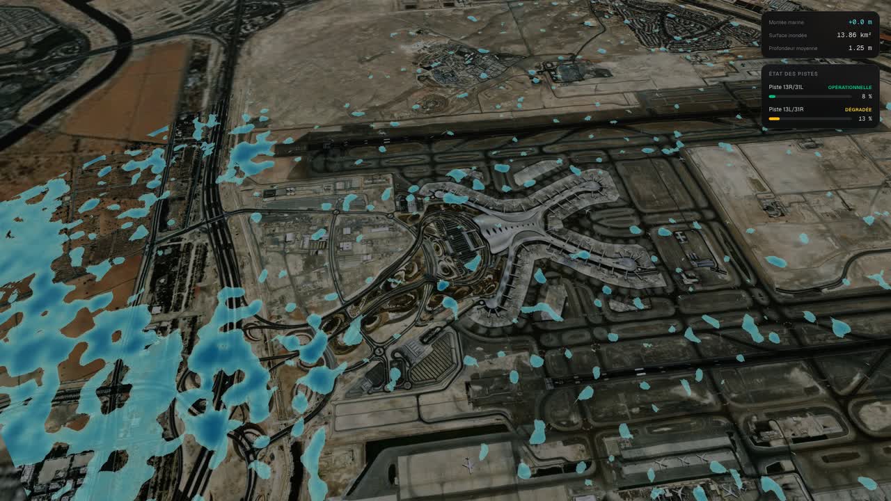
 Wildfires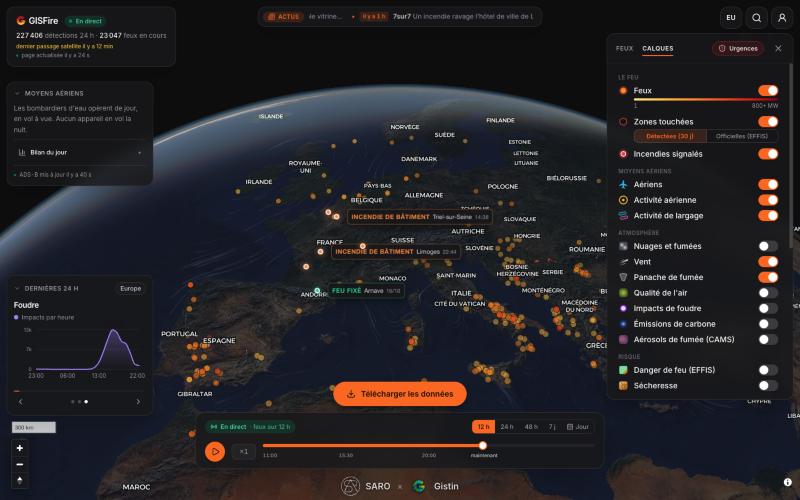
 Lightning