
 GISFlood
See every street that will flood. Test the fix before you pay for it.
- of rainfall in under 24 hours
- ≈ 2 years
- of rainfall in under 24 hours
- the heaviest rainfall ever recorded
- 75 years
- the heaviest rainfall ever recorded
- a world-leading airport, at a standstill
- Grounded
- a world-leading airport, at a standstill
What it does
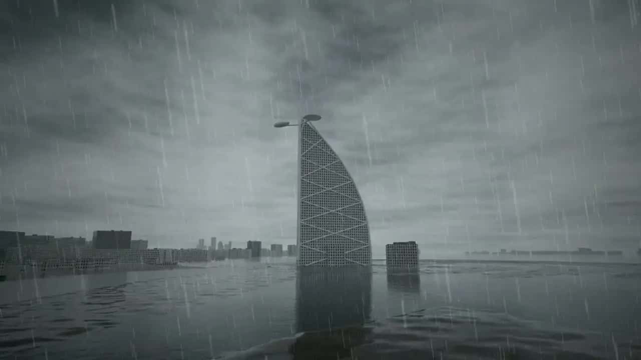
GISFlood replays storms on the 3D twin of your site and shows where the water goes, how deep and how fast: water depth and time of arrival at every building and street, for 10, 50 or 100-year storms, with or without drainage.
It is also a decision tool: your proposed fix is tested against the same storm and compared with today, so you know what it buys before you pay for it. A pilot on one district or asset runs in six to eight weeks, then an annual licence covers your territory. The browser application is in development for the end of 2026.
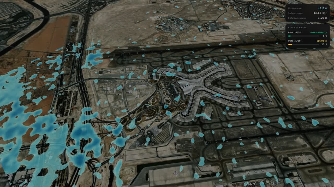
- Water depth and time of arrival at every building and street
- 10, 50 or 100-year storms, with or without drainage
- Your proposed fix tested against the same storm, compared with today
Who it serves
- Municipalities and drainage authorities
- Road, rail and metro operators
- Airports and ports
- Developers and master-plan owners
- Water and sanitation utilities
- Insurers and reinsurers
The science behind it
The flooding methods behind GISFlood are published and reviewed: asset-level exposure under water-rise scenarios on a 3D twin of Abu Dhabi (Frontiers in Built Environment, 2026), effects on smart-mobility infrastructure modelled in GIS (Transportation Research Interdisciplinary Perspectives, 2025), and a comprehensive review of GIS techniques in sea-level change studies (Sustainability, 2024).
Behind every blue pixel there is a hydrological computation on real elevation data, not an illustration. The same team published three decades of UAE coastline change from satellite imagery (Frontiers in Remote Sensing, 2025): measuring the coast is literally our background.
Peer-reviewed foundations
 Frontiers in Built Environment · 30 October 2026Scenario-Based Digital Twin Framework for Assessing Urban Exposure to Sea Level Rise: A Case Study in Abu Dhabi, United Arab EmiratesSarrau, J. & Alkaabi, K. A. · DOI 10.3389/fbuil.2026.1969739
 Frontiers in Remote Sensing · 27 March 2025Spatiotemporal variations of the United Arab Emirates coastline each decade from 1991 to 2021Sarrau, J., Al Abdouli, K. & Abuelgasim, A. · DOI 10.3389/frsen.2025.1468918
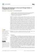 Sustainability · 29 March 2024Exploring GIS techniques in sea level change studies: a comprehensive reviewSarrau, J., Alkaabi, K. & Bin Hdhaiba, S. O. · DOI 10.3390/su16072861
All products
 The high-fidelity 3D twin of your territory, under every application.Discover
 GISFireEvery active fire, live. Alerts on the zones you protect.Discover
 GISLightningLightning exposure of your assets, site by site, before the season.Discover
 GISSpaceSpace weather and orbital traffic, live on one globe.Discover