

One 3D twin of your territory. Every hazard runs on it.
- for floods, wildfires and lightning
- 1 twin
- for floods, wildfires and lightning
- a vulnerability score and a water depth
- Per building
- a vulnerability score and a water depth
- in production in the United Arab Emirates
- Abu Dhabi
- in production in the United Arab Emirates
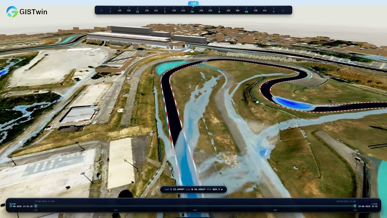

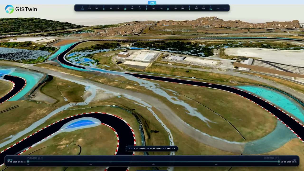
What it does
GISTwin fuses the terrain, buildings, roads, networks and vegetation of your territory into one high-fidelity 3D base. Rain, fire and lightning scenarios then play out on it, on live, historical or forecast weather, and every result is compared with the reference situation, so the decision can be defended in a budget.
The outputs are operational, not decorative: a vulnerability score per building, run after run; submersion points on the road and rail network; decision dashboards and the alerts you configure. Your territory is modelled once, then the applications you need are added on top: a pilot on one district or asset first, then an annual licence.
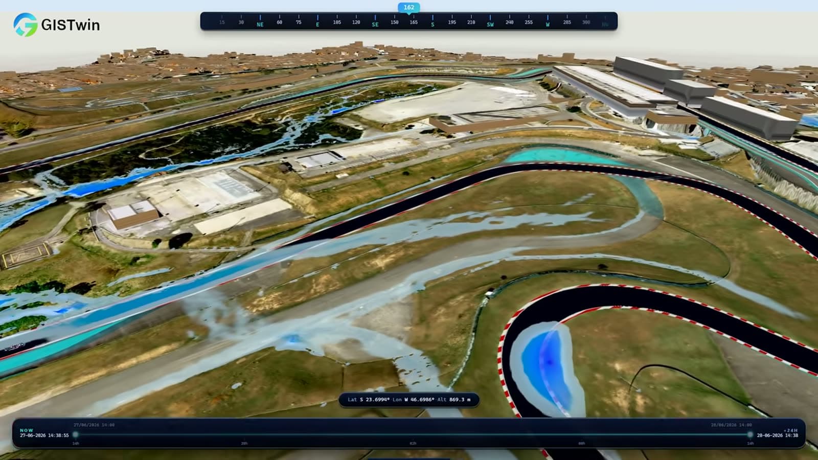
- A vulnerability score per building, run after run
- Submersion points on the road and rail network
- Decision dashboards and the alerts you configure
Who it serves
- Governments and federal or emirate-level authorities
- Urban planning and smart-city programmes
- Infrastructure and transport operators
- Civil defence and emergency services
- Insurers and risk officers
- Universities and research partnerships
The science behind it
The framework behind GISTwin is published: a scenario-based digital twin built in a game engine on 11-metre elevation data, quantifying exposure asset by asset rather than just inundated surface, demonstrated on Abu Dhabi under four sea-level-rise scenarios (Frontiers in Built Environment, 2026).
The project began as G3DAR (GIS & 3D Solutions Applied to Risk Assessment) at the United Arab Emirates University, and won 1st place at the ESGRS Challenge: Earth Observation Edition, organised with the Mohammed Bin Rashid Space Centre. The twin you buy is that research, industrialised.
Peer-reviewed foundations
 Frontiers in Built Environment · 30 October 2026Scenario-Based Digital Twin Framework for Assessing Urban Exposure to Sea Level Rise: A Case Study in Abu Dhabi, United Arab EmiratesSarrau, J. & Alkaabi, K. A. · DOI 10.3389/fbuil.2026.1969739
 Transportation Research Interdisciplinary Perspectives · November 2025Modeling sea level rise scenarios and their effects on smart mobility infrastructure using GISAlkaabi, K. & Sarrau, J. · DOI 10.1016/j.trip.2025.101667
All products
 GISFloodFlood simulation of your site, street by street, before the storm.Discover
 GISFireEvery active fire, live. Alerts on the zones you protect.Discover
 GISLightningLightning exposure of your assets, site by site, before the season.Discover
 GISSpaceSpace weather and orbital traffic, live on one globe.Discover